Climate Data
February 2020 Weather Summary for Belize
February 2020 started with the approach and passage of a cold front during the late evening. This front supported showers and isolated thunderstorms over most of the country. Savannah in southern Stann Creek recorded 1.50inches of rainfall, over one inch at Hershey on the Hummingbird Highway and half of an inch at Central Farm in the Cayo district. The second day of the month winds remained gusty and from the north to northeast but mainly fair, mild and dry weather prevailed across the country. Skies were cloudy on the 3rd with mostly layered clouds and small areas of light rain confined to northern and central coastal areas. The 4th started off with brief isolated showers mainly over central and offshore areas that lasted until mid-morning then conditions became fair, warm and dry through to the 6th as a gusty southeasterly flow dominated the area.Moisture and clouds increased on the 7th as a weak trough ahead of a stationary front over the Yucatan Peninsula induced gusty north to northwest winds over the country. Only isolated showers or light rain occurred along offshore and over central areas during the afternoon then over the Maya Mountains during the night.
Mainly good weather with only isolated showers prevailed over the country from the 8th to the 10th as a moderate sometimes gusty easterly to southeasterly airflow prevailed.Weather conditions remained warm and mostly dry from the 11th through to the 13th as the easterly to southeasterly flow continued to dominate the country then an east to northeasterly flow developed on the 14th as a pre-frontal trough approached the area. This supported a few showers over southern and coastal areas of the country overnight. This activity continued on the 15th with a few showers mainly southward of Belize City that became isolated by sunset.
Generally fair weather with only isolated showers prevailed from the 16th through most of the 17th as a light to moderate easterly airflow dominated the area then a few showers affected central and some northern areas during the night of the 17th. Isolated showers continued to affect northern districts during the daytime on the 18th then southern districts during the night. On the 19th mainly fair weather prevailed except for a few showers that occurred over the south overnight then only isolated showers developed during the afternoon of the 20th.Skies became cloudy overnight on the 21st as another cold front approached the country. The proximity of this front supported an increase in moisture and showers that resulted in close to an inch of rainfall at Hershey and Belmopan. Showers and light rain affected northern portions of the country before midnight while the activity occurred over central and southern areas after midnight. The front crossed the country around midnight on the 22nd and was near the southern border by morning. A moderate north to northeasterly airflow along with cloudy and cool conditions prevailed in its wake.
From the 23rd to the 25th conditions remained fair but became sunny and drier as an east to southeasterly airflow replaced the north to north easterlies. The 26th started off generally fair and warm then isolated thunderstorms developed over the Maya Mountains around mid-afternoon and over the northwest later that evening ahead of an approaching cold front. Cloudy conditions along with gusty north to northwesterly winds accompanied showers, isolated thunderstorms and light rain over most areas overnight. The third cold front for February 2020 crossed the country during the morning of the 27th with overcast skies and very gusty winds that produced rough sea conditions. Rainfall was mostly light and occurred mainly off the coast. The last two days of February were generally cloudy and cool with not much rainfall except for light rain that occurred over central coastal areas early on the night of the 29th.
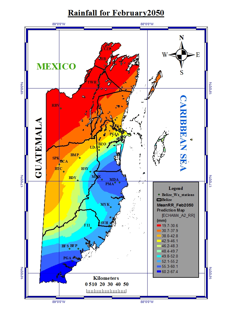
Click on the link below for the forecast rainfall for February 2050: